

Indianapolis & Marion County, IN Wall Map
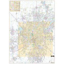
Regular price $199.95Our Indianapolis and Marion Co, IN Wall Map, with adjacent areas, measures 58" x 80" (4'10" W x 6'8" H) and features up-to-date cartography, with new streets and changes in complete street detail; is printed in color, with a markable and washable laminated surface; and offers a street index in a separate book-format.
The area of coverage includes all of Marion County, with the following boundaries:
- North to Noblesville and Westfield
- South to Greenwood, in Johnson County
- East to Cumberland and the Marion County line
- West to Plainfield, Brownsburg, and Avon
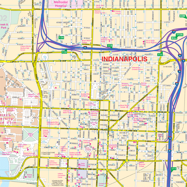
Details and features include:
- AIRPORTS
- BLOCK NUMBERS
- CEMETERIES
- CITY LIMITS
- EDUCATIONAL INSTITUTIONS
- GOLF & COUNTRY CLUBS
- GOVERNMENT BUILDINGS
- HOSPITALS
- LIBRARIES
- NEIGHBORHOODS
- POLICE STATIONS
- RAILROADS
- RECREATIONAL PARKS
- SHOPPING CENTERS
- STREETS & HIGHWAYS
- WATER FEATURES
- ZIP CODE BOUNDARIES
Framing rails are included, top and bottom, for easy wall mounting.
|
Product #: 1238234 |
|
Dimensions: Width 58, Height 80 |
|
Weight: 9.00 |