

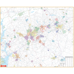
Greenville & Spartanburg, SC Regional Wall Map
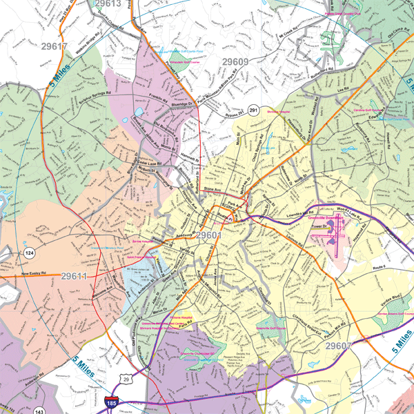
Regular price $199.95Our Greenville and Spartanburg, SC Regional Wall Map, with adjacent areas, measures 54" x 66" (4'6" W x 5'6" H) and features up-to-date cartography, with new streets and changes in complete street detail; is printed in color, with a markable and washable laminated surface; and offers a city index printed on the map.
The area of coverage includes all of Greenville, Pickens, and Spartanburg Counties; and portions of Anderson, Laurens, Oconee, Union, Abbeville, and Cherokee Counties, with the following boundaries:
- North to Landrem, in Spartanburg County; approximately 22 miles north of Greenville/Spartanburg Airport; and Tryon, NC
- South to Ware Shoals, in Greenwood County; Clinton, in Laurens County; and approximately 35 miles south of Greenville/Spartanburg Airport
- East to Pacolet, in Spartanburg County; and approximately 30 miles east of Greenville/Spartanburg Airport
- West to Utica, in Oconee County; and approximately 40 miles west of Greenville/Spartanburg Airport
Details and features include:
- AIRPORTS
- COUNTY LINES
- MAJOR STREETS & HIGHWAYS
- MILEAGE CIRCLES
- PARKS & LANDMARKS
- RAILROADS
- STATE BOUNDARIES
- WATER FEATURES
- ZIP CODE BOUNDARIES
Framing rails are included, top and bottom, for easy wall mounting.
|
Product #: 2672927 |
|
Dimensions: Width 54, Height 66 |
|
Weight: 9.00 |