


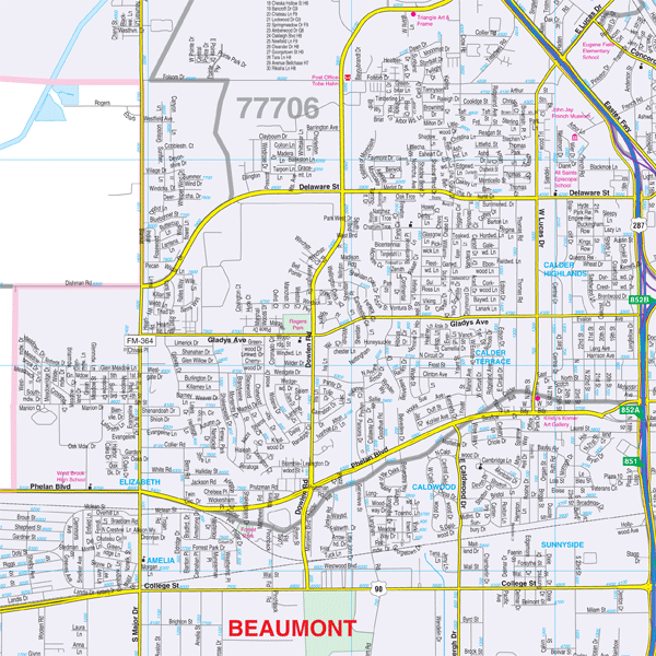
The area of coverage includes the Golden Triangle area (Beaumont/Port Arthur/Orange) and all of Orange County, with the following boundaries:
- North to the Orange County line and Pine Forest
- South to Port Arthur
- East to the Louisiana State line
- West to five miles west of Beaumont
Details and features include:
- AIRPORTS
- BLOCK NUMBERS
- CEMETERIES
- CITY LIMITS (color-coded)
- EDUCATIONAL INSTITUTIONS
- FIRE & POLICE STATIONS
- GOLF & COUNTRY CLUBS
- HOSPITALS
- LIBRARIES
- POINTS OF INTEREST
- RAILROADS
- RECREATIONAL PARKS
- STREETS & HIGHWAYS
- WATER FEATURES
- ZIP CODE BOUNDARIES
Framing rails are included, top and bottom, for easy wall mounting.
|
Product #: 1567230 |
|
Dimensions: Width 77, Height 60 |
|
Weight: 9.00 |