

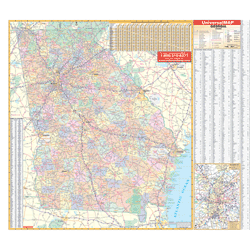
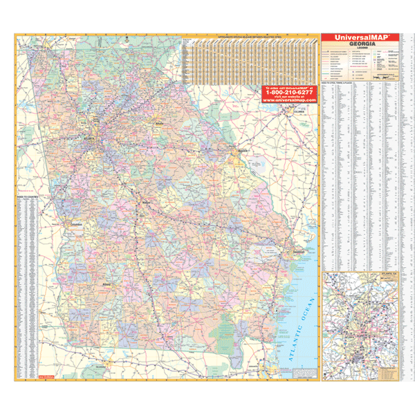
The 4th edition of the Georgia State Wall Map by Kappa Map Group measures 60” x 54” (5' W x 4'6" H) and provides up-to-date cartography at a scale of 1” = 6.8 miles. Printed in color with a markable/washable-laminated surface with hanging rails mounted top and bottom. Features color-coded counties with a mileage chart between major cities.