

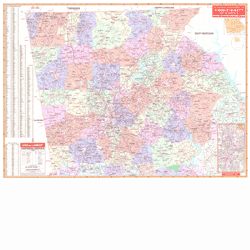
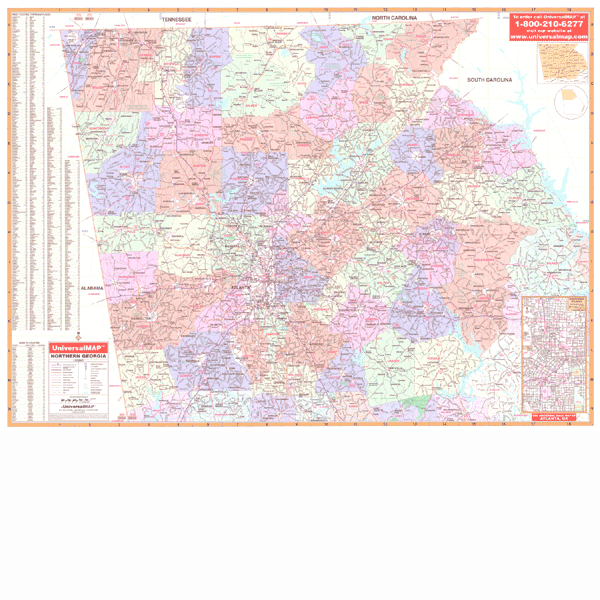
The 3rd edition North Georgia Regional Wall Map published measures 69" x 51" (5'9" W x 4'3" H) and has been printed on a laminated surface making the map both markable and washable. Indexed on the face of the map. Uses up-to-date cartography at a scale of 1” = approximately 2.8 miles.
The area of coverage runs North: to the Tennessee/North Carolina state lines--approximately 80 miles north of Atlanta; South: to include portions of Pike, Lamar, and Merriwether Counties; East: to the South Carolina state line, approximately 90 miles east of Atlanta; West: to the Alabama state line.
Special features include color-coded counties--showing all 61 counties surrounding Atlanta in a 50 to 90 mile radius of Atlanta.
Details are as follows: interstates, US highways, state highways, county roads, airports, shopping centers, educational facilities, hospitals, military installations, parks, water features, recreation areas, national forests, mileage circles, longitude and latitude lines, and other points of interest.
Framing rails are included on top and bottom for easy wall mounting.