

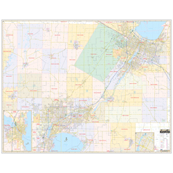
The area of coverage includes all of the Fox Cities, from Green bay to Neenah, with the following boundaries:
- North to Howard
- South to Neenah and Brillion
- East to Green Bay
- West to Hortonville
The Fox Cities, WI Wall Map also includes inset maps of Oshkosh and Downtown Green Bay.
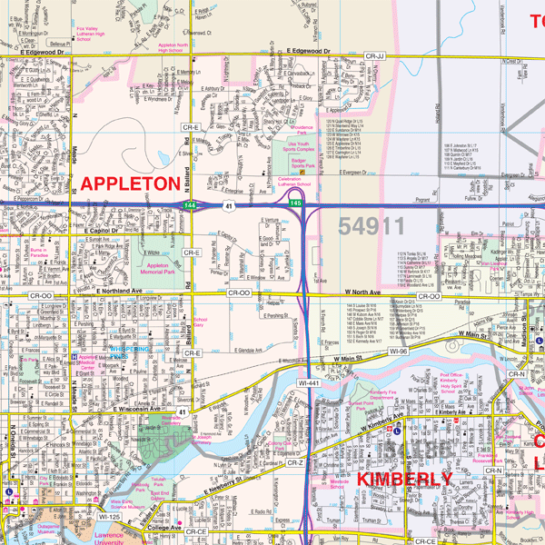
Details and features include:
- AIRPORTS
- BLOCK NUMBERS
- CEMETERIES
- CITY LIMITS (color-coded)
- EDUCATIONAL INSTITUTIONS
- FIRE & POLICE STATIONS
- GOLF & COUNTRY CLUBS
- GOVERNMENT BUILDINGS
- HOSPITALS
- LIBRARIES
- POINTS OF INTEREST
- POST OFFICES
- RAILROADS
- RECREATIONAL PARKS
- SHOPPING CENTERS
- STREETS & HIGHWAYS
- WATER FEATURES
- ZIP CODE BOUNDARIES
Framing rails are included, top and bottom, for easy wall mounting.
|
Product #: 1798230 |
|
Dimensions: Width 75, Height 59 |
|
Weight: 9.00 |