

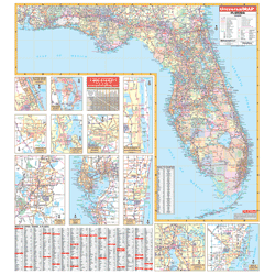
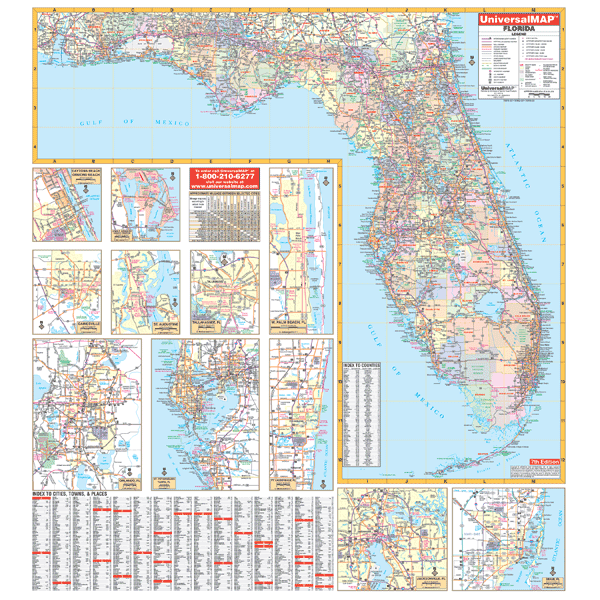
The 7th edition Florida Wall Map measures 54 by 60 inches. (4'6" W x 5'H) Includes up-to-date cartography at a scale of 1" = 10 miles. Printed in color with a markable and washable laminated surface. Cities and counties are indexed on the face of the map.
Identifies major airports, state universities, state and national parks, all state and federal highways, secondary roads, major waterways, cities and towns, and military installations.
Detailed insets of the following major cities and areas: Daytona Beach, St. Petersburg, Jacksonville, Tampa, Gainesville, Tallahassee, Orlando, Kennedy Space Center, Ft. Lauderdale, St. Augustine, Miami.
Features color-coded counties along with new and old highway exit numbers.