

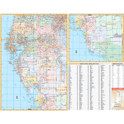
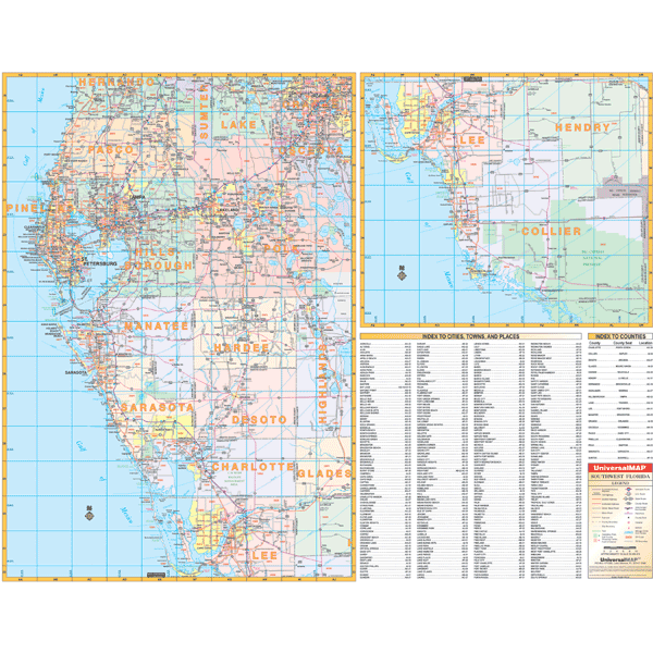
The 2nd edition Wall Map of the Southwestern Florida Region measures 66” W x 53” H (5'6" W x 4'5" H) using up-to-date cartography at a scale of 1” = approximately 3.08 miles. Printed in color with a markable and washable laminated surface. Cities and towns are indexed on the face of the map. Includes hanging rails on top and bottom.
Covers all of the following counties: Pasco, Pinellas, Hillsborough, Polk, Manatee, Hardee, Sarasota, De Soto, Charlotte, Lee, and Collier; Boundaries: North: to Brooksville in Hernando Co; South: to Marco Island, Collier Co; East: to Orlando in Orange Co., St. Cloud in Osceola Co., Sebring in Highlands Co., and La Belle in Hendry Co; West: to the Gulf of Mexico.
Details include federal and state highways, mileage circles, longitude/latitude lines, New/old interstate exit numbers, ZIP codes, and ZIP code boundaries.