

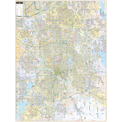
The area of coverage includes Dallas County, with the following boundaries:
- North to Plano and Lucas
- South to the Dallas-Ellis County lines
- East to the Dallas County line
- West to the Dallas County line and Dallas/Fort Worth International Airport
Details and features include:
- AIRPORTS
- BLOCK NUMBERS
- CEMETERIES
- CITY LIMITS (color-coded)
- EDUCATIONAL INSTITUTIONS
- FIRE & POLICE STATIONS
- GOLF & COUNTRY CLUBS
- GOVERNMENT BUILDINGS
- HOSPITALS
- LIBRARIES
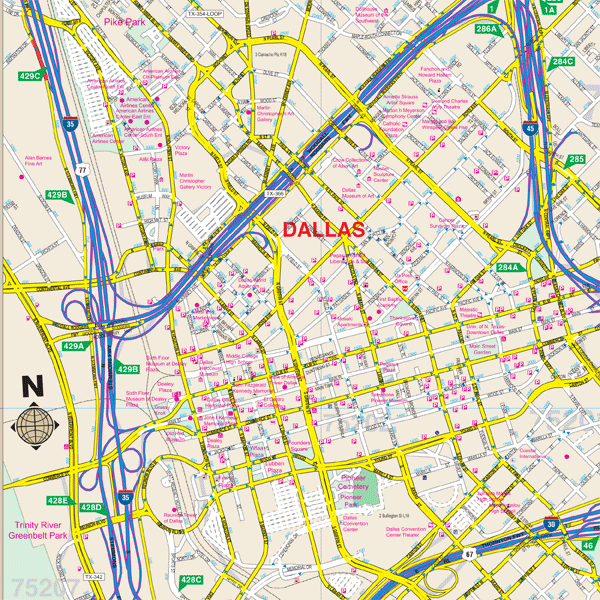
- POINTS OF INTEREST
- POST OFFICES
- RAILROADS
- RECREATIONAL PARKS
- SHOPPING CENTERS
- STREETS & HIGHWAYS
- WATER FEATURES
- ZIP CODE BOUNDARIES
Framing rails are included, top and bottom, for easy wall mounting.
|
Product #: 2566931 |
|
Dimensions: Width 59, Height 78 |
|
Weight: 10.00 |