

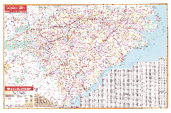
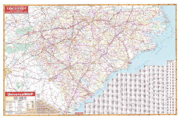
The 5th edition North and South Carolina Wall Map measures 68" W x 49" H (5'9" W x 3' 10" H) and includes the following: all state highways, all federal highways, cities, major waterways, major airports, state parks, towns, state universities, wildlife areas, military installations, points of interest, color coded counties, and mileage charts between major cities.
The map is protected with a laminate, which is both markable and washable. Executive wood-grain rails are mounted top and bottom, to complete this quality product. In addition, for your convenience, the map is indexed on the face of the map.